We see two
roadways, one on each side of the border.

The two roadways
are clearer seen.

Detail
of a border marking stone, with E (España/Spain) on one side and P
(Portugal) on the other.
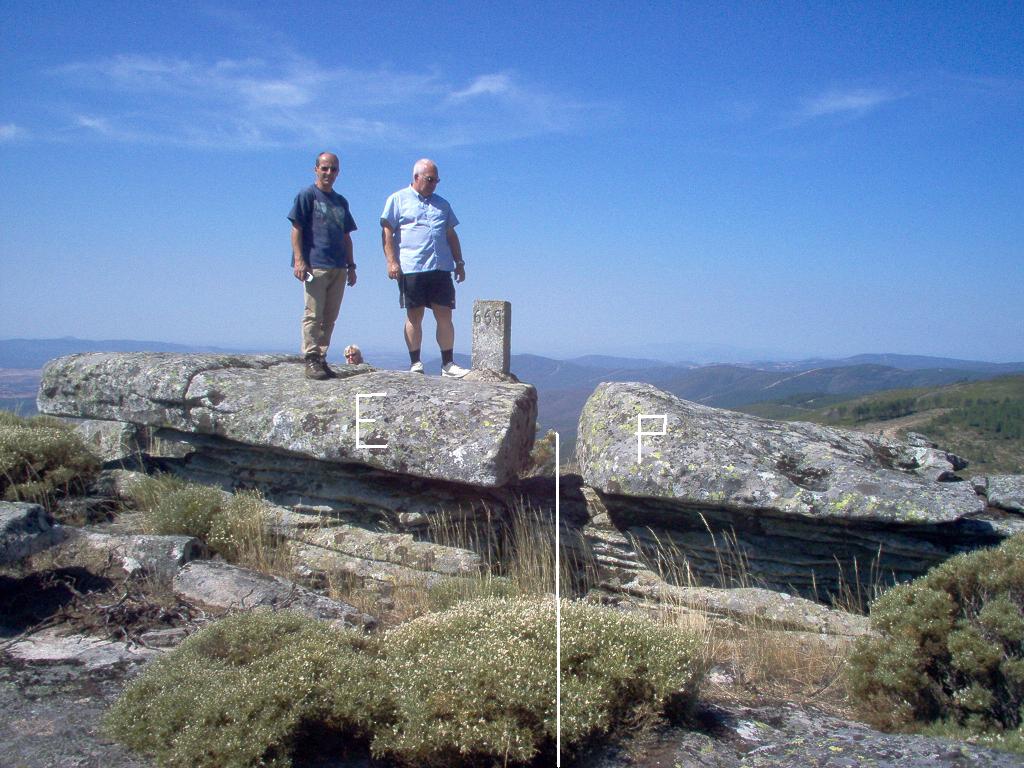
My
brother, my wife and myself are on the Spanish side of the border. You
can see border marker 669 (these stone markers are numbered all along
the Portuguese/Spanish border with fee exceptions). "Pedra Ratchada"
(this is a rough phonetical transcription of the local pronunciation,
since in standard Portuguese it should be written "Pedra Rachada")
means litteraly "broken stone". As you see the stone has been
broken by natural phenomena (erosion, low temperatures, etc.) as if it
wanted to mark the exact border.

More detailed
views of the same stone.

More detailed
views of the same stone.

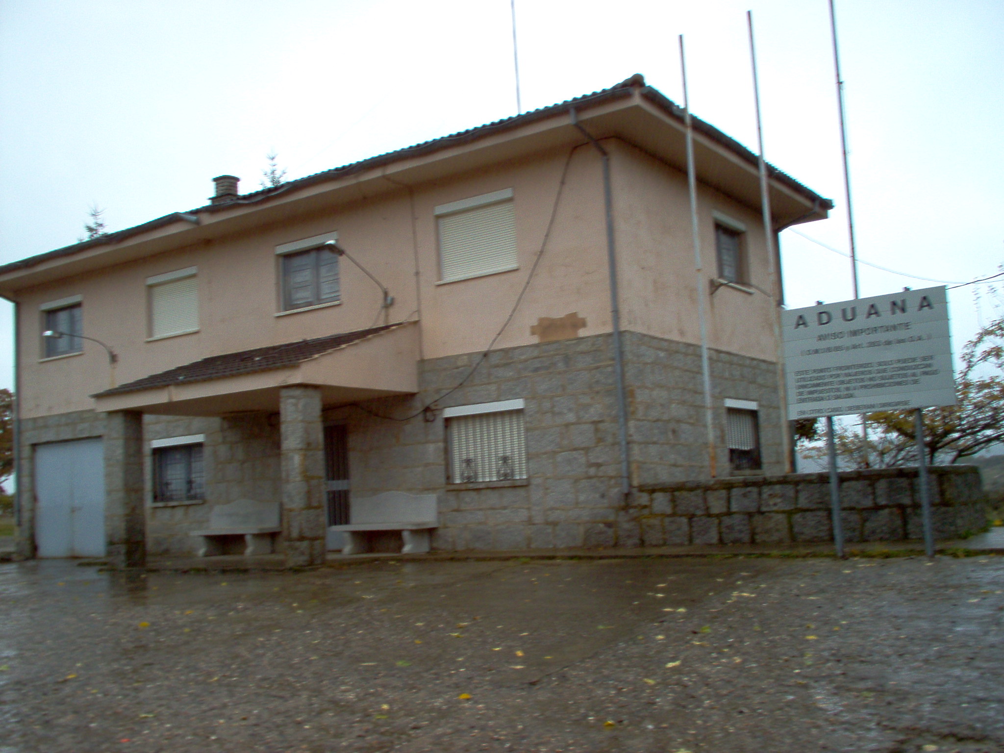
The former Spanish custom
station at Calabor, now abandoned (the
border post on the Portuguese side is Portelo).