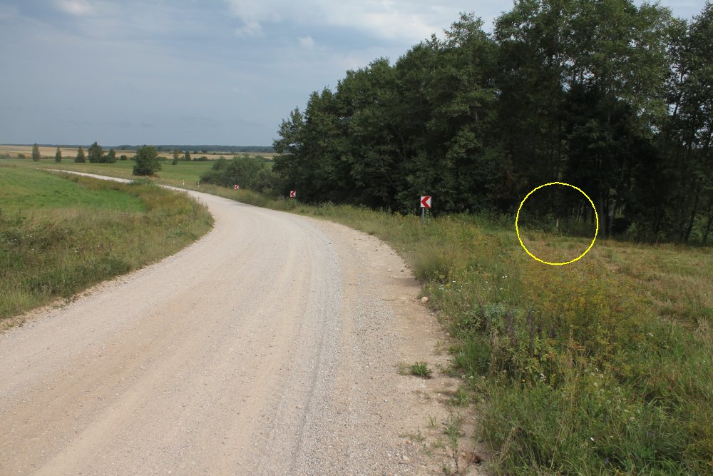
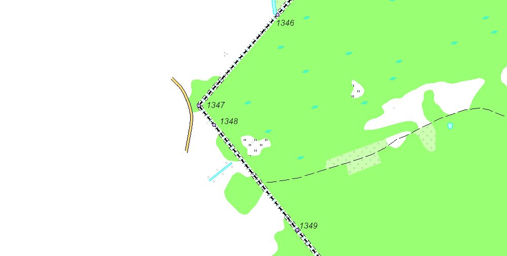
Boundary marker 1347 markered inside the
circle. Photographed towards north.
Position: 56° 00' 29"N 25° 50' 57"E.
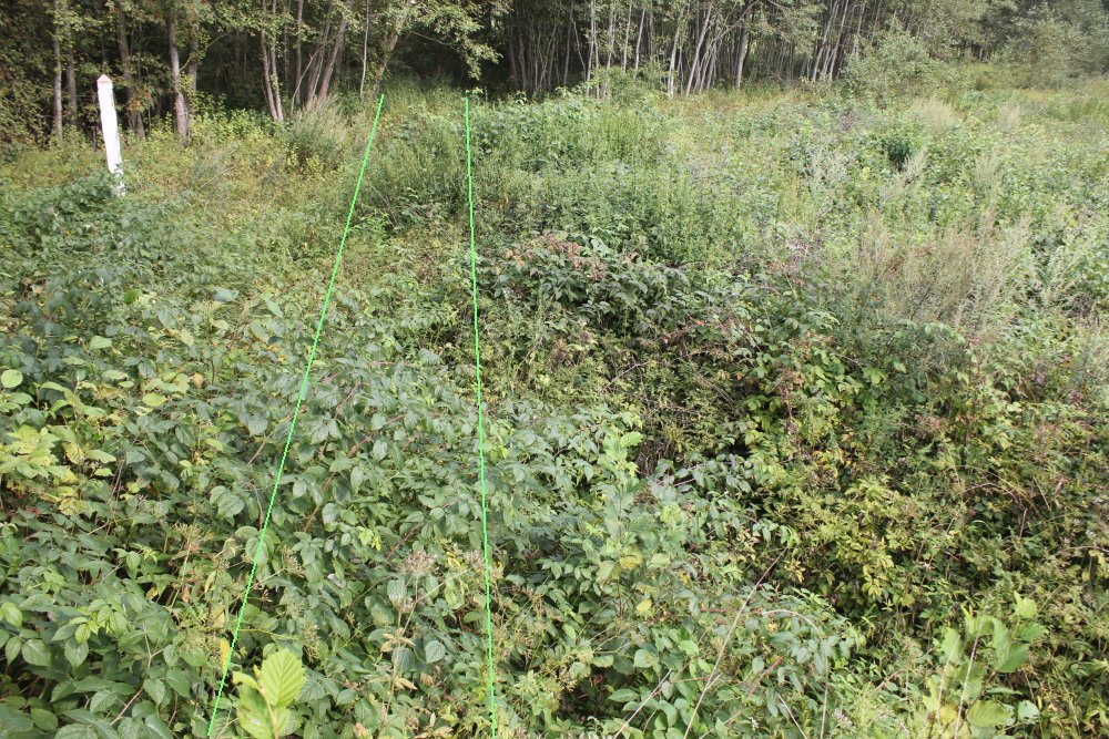
Border marker 1347 to left, photographed towards
north. The two green lines indicate a possible location of an old pre-WWII
road crossing.
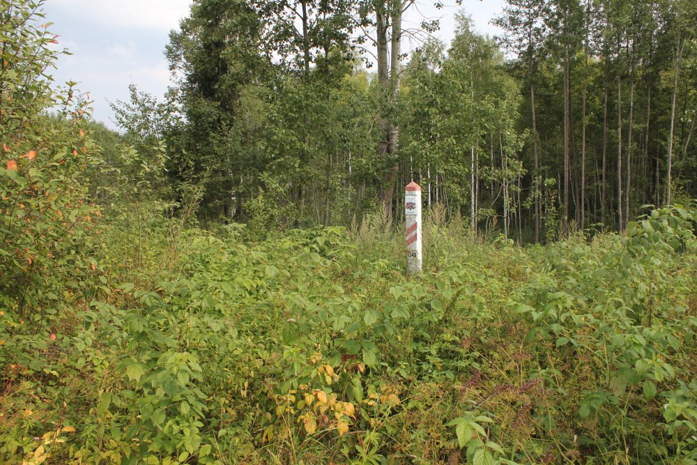
Border marker 1348,
photographed towards northeast.
Maps
Border map from 2012. Both
1347 and 1348 are direct border markers. (Source: LGIA.)
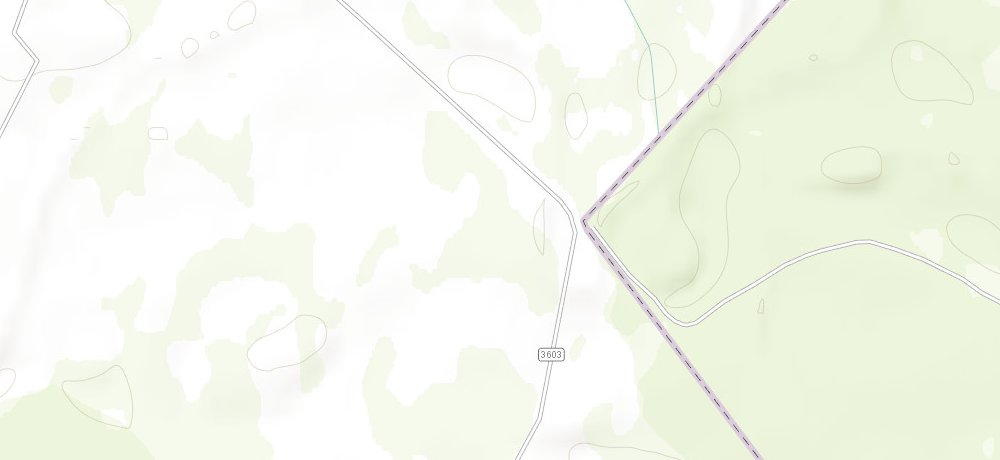
At this map we can see the old
road on Latvian side. (Source: ArcGIS).
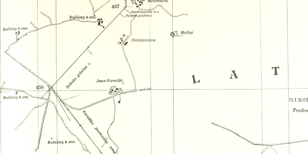
Border
map from 1927. Here we can see there was a Y-junction at border marker 438
(present 1347). Along the border there were several farms which later have
disappeared.
The
point was visited in August 2014.
Sources
and links
–
This page was first time made on 5 April 2015. This page was
last time updated
05/04/15
.